


Hema Central Australia 4wd Explorer Map
Original price was: $14.95.$10.47Current price is: $10.47.
- Buy Quality, Live Better
- Peace of Mind with Every Purchase
- 100% Quality Satisfaction
- Get the Best for Less

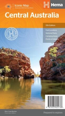
Central Australia Map (11th edition) Discover Australia’s ancient heartland This map of the Central Australia region is ideal for discovering some of Australia’s most iconic landscapes. The main map covers the area around Alice Springs, including Uluru, Kata Tjuta, West MacDonnell Range, as well as the Simpson Desert, and popular tracks such as the Hay River Track. This map stretches over both sides of the map at a scale of 1:1,500,000 and has extensive detail on indigenous areas (and where permits are required), national parks, deserts, fuel locations, camping areas, and points of interest. The reverse side of the map includes: a table of National Parks and Reserves with facilities shown (such as toilets & showers, camping allowed, BBQ, etc..) a listing of Information Centres with address and contact details Information on the area’s heritage and exploration, contemporary tourism, outback etiquette, desert tracks and hiking information. Key Features GSP surveyed roads and tracks Fuel stops 4WD tracks Camping and rest areas Historic sites Key Specifications Edition: 11th Scale: 1:1,500,000 Folded size (WxHxD): 140mm x 250mm x 2mm Flat size (WxH): 700mm x 1000mm (9781925625738)
| SKU | 9781925625738 |
|---|---|
| Barcode # | 9781925625738 |
| Brand | HEMA |
| Shipping Weight | 0.1000kg |
Be the first to review “Hema Central Australia 4wd Explorer Map”
Related products
Hiking & Camping
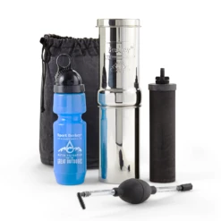
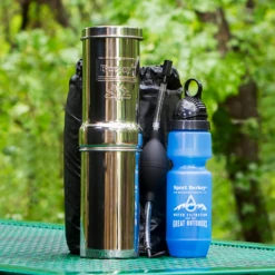
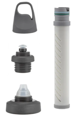
Go Berkey Portable / Hiking Kit With Black Berkey Primer & Berkey Sports Filter Bottle

Hiking & Camping

Hiking & Camping

Camping Gear

Hiking & Camping


Hiking & Camping


Hiking & Camping

Hiking & Camping
Reviews
There are no reviews yet.